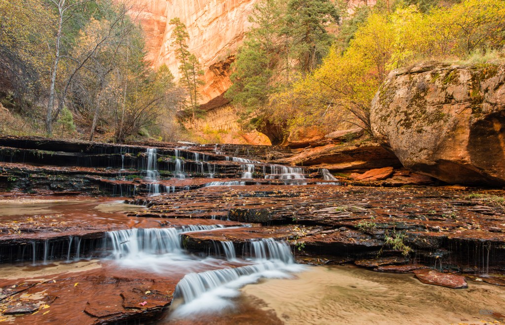
Late Season in the Canyons
Early November changes Zion. The summer monsoons are past, the extreme desert heat has broken, and the heavy crowds in the main canyon thin out considerably. You may even be able to get around without using the shuttle bus. Morning temperatures drop near freezing, but the canyon air remains crisp and still. The cottonwoods and bigtooth maples along the river drainages shift to brilliant golds and deep crimsons, offering a brief window where autumn foliage cuts against the saturated red Navajo sandstone.
This was not an intensive photo expedition. It was a short personal trip centered around day hikes, stuffing a camera body, a lightweight tripod, and a couple of versatile lenses into a small pack rather than carrying a full landscape photo kit.
Part I: The Left Fork (The Subway)
The bottom-up route into the Left Fork of North Creek requires a backcountry wilderness permit and roughly nine miles of unmaintained route-finding, along with canyoneering boots. The trek begins with a steep 400-foot descent down loose volcanic scree from the plateau rim to the creek bed.
From the bottom, the trail disappears. The route is an arduous, continuous sequence of boulder-hopping, crossing cold, calf- to knee-deep water, and navigating slick, moss-covered river stones. In early November, the water is cold enough to demand neoprene socks, but the lower autumn flow rates make navigating the creek significantly safer and more predictable than during the spring melt or late-summer flash flood season.
Several miles up-canyon, the loose river rocks give way to wide, terraced shelving of dark red sandstone. Here, North Creek carves directly through the slickrock, tumbling down wide cascade steps.
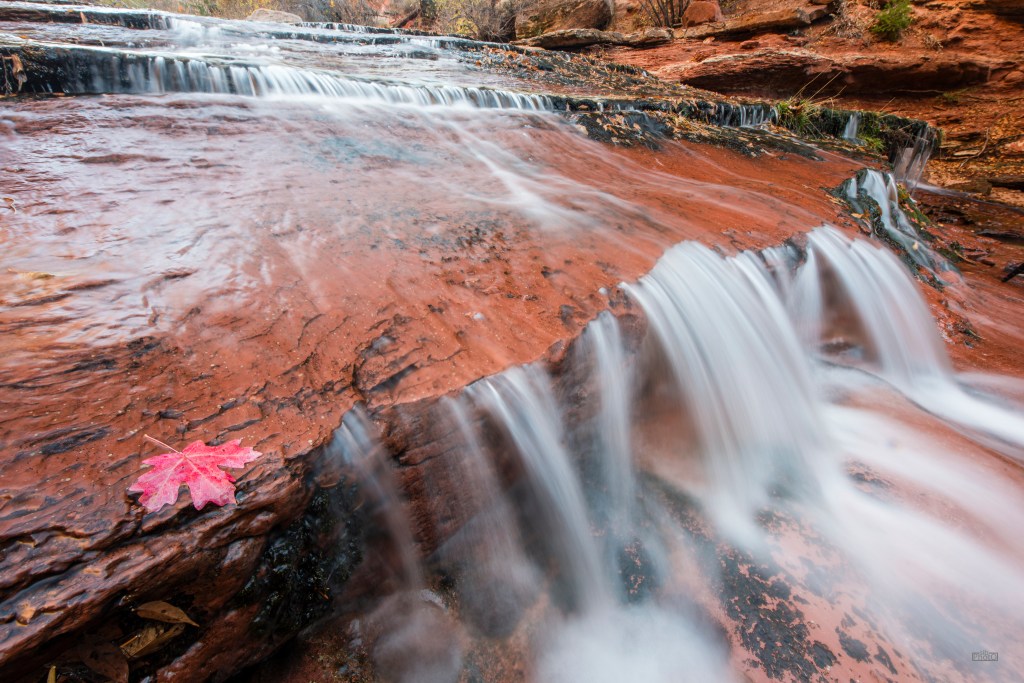
Working along the lower terraces, the priority was balancing water motion against the structural lines of the stone. At shutter speeds around 1/2 to 2 seconds, the tumbling water smooths into clean ribbons without losing its underlying texture. The dark, saturated red rock acts as a strong contrast layer against the white froth, punctuated by stray leaves caught along the shelves.
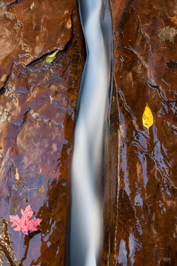
Higher up the slickrock deck, water carves narrow, serpentine channels just inches wide. These natural sluices concentrate the entire force of the stream into smooth, sinuous flumes. Looking down on these channels isolates the composition to pure graphic lines: dark wet rock, smooth white water, and isolated points of autumn color. (I forgot to bring a polarizer!)
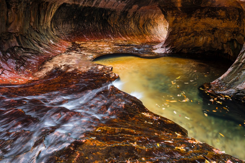
Reaching the Subway itself marks an abrupt architectural shift. The canyon walls pinch inward and curve overhead, scooped out over millennia by gravel-laden floodwaters into an almost tubular corridor. Direct sunlight rarely penetrates the chamber floor. Instead, light bounces down from the high canyon rim above, casting a soft, warm amber glow onto the wet sandstone while the deep pools reflect cool forest greens.
We turned around at this point to head back down; round trip it was about 8 hours of hiking (including lots of photo stops) and it was going to be cold and dark by the time we climbed the steep trail back up to the car.
Part II: The Upper Slickrock Plateau
Leaving the shadowed canyon floors of the Left Fork, the second day shifted to the higher elevations along the Zion–Mount Carmel Highway corridor.
The geology here is exposed, wind-scoured, and vast. Unlike the wet, enclosed environments of the slot canyons, the upper plateau is dominated by towering domes of petrified Jurassic sand dunes. The primary photographic challenge shifts from managing long exposures in deep shade to reading graphic geometry, high-contrast desert light, and mineral patterns in bare rock.
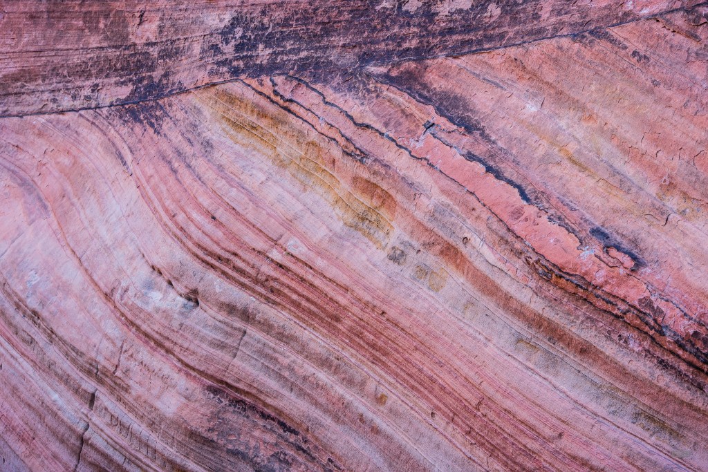
The cross-bedding here reveals ancient wind patterns from 180 million years ago, preserved as angled, sweeping striations across the rock faces. Mineral staining, primarily iron oxide (rust!) and manganese, creates subtle, gradient bands ranging from pale rose and ochre to deep plum. Working tightly with a telephoto lens strips away geographical scale, transforming massive geological cliffs into clean abstract studies of line, angle, and texture.
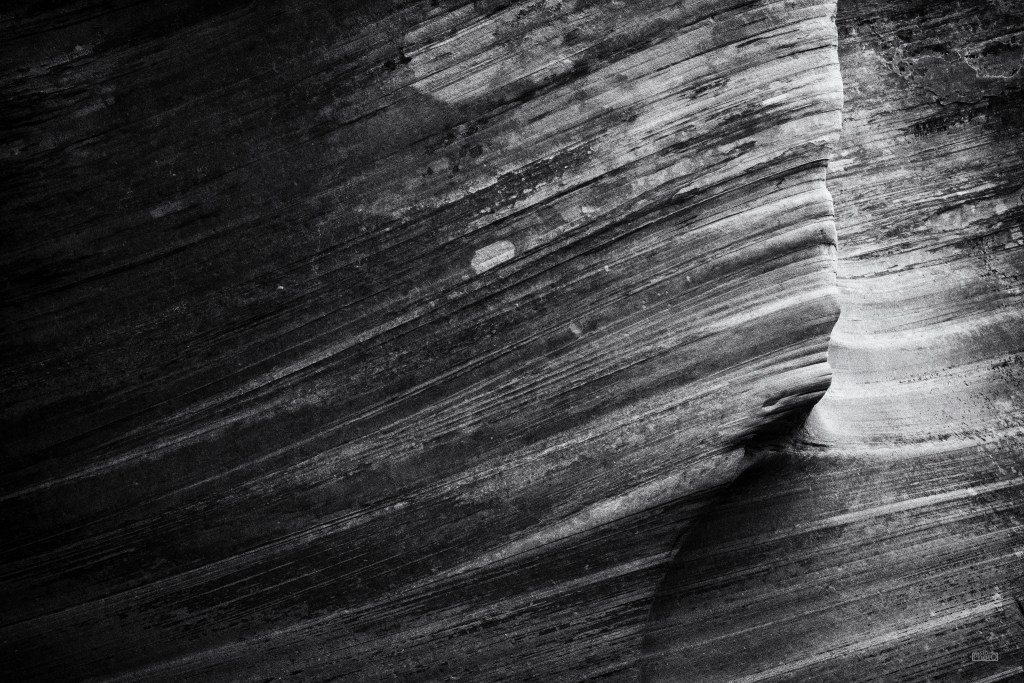
Converting these rock patterns to monochrome strips out color distraction and forces attention directly onto texture, bedding relief, and fracture lines. In black and white, the subtle transitions between fine dust layers and hard, weathered stone become sharp, structural contours.
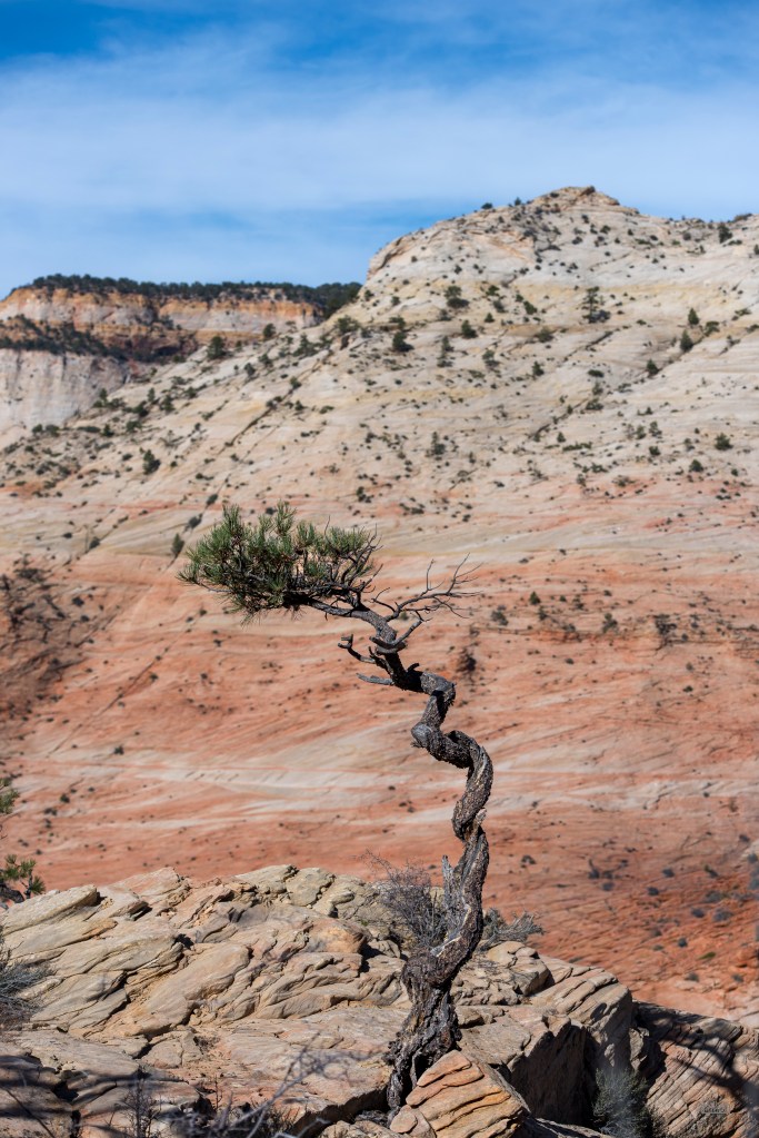
High-desert vegetation on the slickrock is sparse and tenacious. Ponderosa and piñon pines exploit narrow joint fractures in the stone, anchoring their root systems directly into solid rock where scant moisture collects. High on an exposed ridge, this twisted pine stands as a solitary anchor against the massive, pale backdrop of the canyon plateau; a fitting visual close to a fast, quiet traverse across Zion’s autumn stone.


Leave a comment